Kasilof River near Kasilof, AK
River level and flood forecast · Kenai Peninsula County
Normal38.6 ftas of Tue 3 AM
River camera
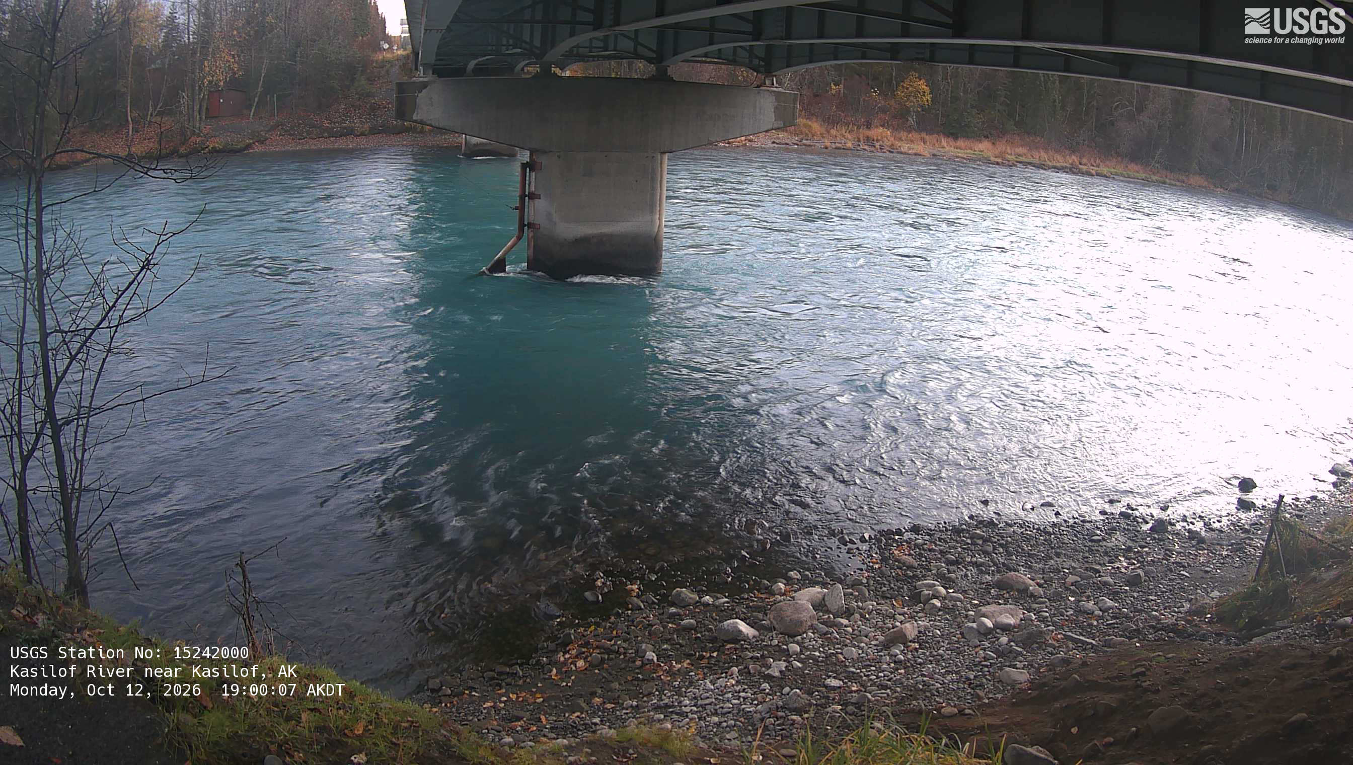
Watch the time-lapse
Camera by the U.S. Geological Survey. Most take a picture every hour, some every few minutes; many stop at night.
The last 7 days and the forecast
NWS forecast issued Mon, Jan 1, 12 AM. Forecasts change as rain falls and as upstream water arrives.
Get flood alerts for this river
An email when the National Weather Service forecasts Kasilof River near Kasilof to flood, when it floods, and when it's over.
Flood stages
| Action stage | 41 ft |
| Record crest (September 9, 2017) | 40.79 ft |
What floods at each level
From the National Weather Service, highest first.
- 40 ftBankfull conditions at the Sterling Highway Bridge.
Highest crests on record
- 40.79 ft — September 9, 2017
Recent crests: 40.79 ft (September 9, 2017)
Up and down the river, and nearby
- Kenai River at Soldotna, AK
- Kenai River below Skilak Lake Outlet near Sterling, AK
- Bradley River near Tidewater near Homer, AK
- Middle Fork below North Fork Bradley River near Homer, AK
- Battle Creek 1.0 mile above Mouth near Homer, AK
- Middle Fork Bradley River near Homer, AK
- Bradley River below Dam nr Homer, AK
- Anchor River near Anchor Point, AK
See it on the live map →Radar & warnings for Kenai Peninsula CountyNWS gauge pageUSGS gauge 15242000
Not an official source. River levels, forecasts, flood stages and impacts are from the National Weather Service (KSFA2); flow from the U.S. Geological Survey. Readings are provisional. In a flood, follow your local officials and the NWS at weather.gov.