Klehini River near Klukwan, AK
River level and flood forecast · Haines County
Normal84.6 ftas of Tue 3 AM
Flow: 1,100 cubic feet per second (USGS).
River camera
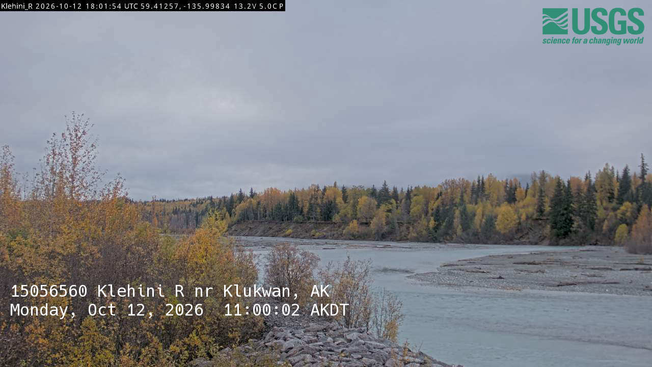
Camera by the U.S. Geological Survey. Most take a picture every hour, some every few minutes; many stop at night.
The last 7 days and the forecast
NWS forecast issued Mon, Jan 1, 12 AM. Forecasts change as rain falls and as upstream water arrives.
Highest crests on record
- 87.47 ft — September 17, 2025
- 87.24 ft — July 24, 2024
- 86.28 ft — September 17, 2023
- 84.16 ft — October 2, 1987
- 83.84 ft — June 6, 1993
Recent crests: 87.47 ft (September 17, 2025) · 87.24 ft (July 24, 2024) · 86.28 ft (September 17, 2023) · 83.84 ft (June 6, 1993) · 83.61 ft (June 15, 1992)
Up and down the river, and nearby
Not an official source. River levels, forecasts, flood stages and impacts are from the National Weather Service (KLRA2); flow from the U.S. Geological Survey. Readings are provisional. In a flood, follow your local officials and the NWS at weather.gov.