Matanuska River at Palmer, AK
River level and flood forecast · Matanuska-Susitna County
Forecast to hold near 1.9 ft through Thu, Oct 15, 6 AM.
Flow: 1,900 cubic feet per second (USGS).
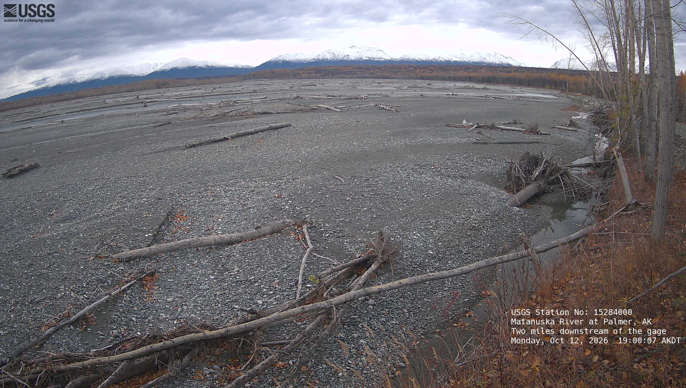
River camera
Watch the time-lapse
Camera by the U.S. Geological Survey. Most take a picture every hour, some every few minutes; many stop at night.
The last 7 days and the forecast
NWS forecast issued Mon, Oct 12, 8:31 PM. Forecasts change as rain falls and as upstream water arrives.
What floods at each level
From the National Weather Service, highest first.
- 35000 ftModerate Flood Flow - This discharge (flow) level has a roughly 10 percent chance of being reached in any given year. Flooding near vulnerable locations along the active river channel may become more significant and widespread. This level was reached during the flooding in 2012.
- 30000 ftMinor Flood Flow - This discharge (flow) level has a roughly 20 percent chance of being reached in any given year. Additional vulnerable locations near the active river channel may experience some flooding at this level west of the Old Glenn Highway in the Butte and near Sutton from Milepost 64 to 66. Residents are advised that for the past several years at both of these locations, the main channel of the river has been shifting closer to the bank.
- 15000 ftAction Flow - This discharge (flow) level represents the higher end of the typical summertime range, and will likely be reached at least once nearly every year. Localized minor out-of-bank flooding may start to occur along parts of the Glenn highway, especially east of Sutton from milepost 64 to 66.
Highest crests on record
- 13.6 ft — August 10, 1971
- 13.34 ft — June 21, 2004
- 13.04 ft — September 22, 1995
- 12.6 ft — June 20, 1999
- 12.37 ft — August 13, 2003
Recent crests: 10.21 ft (June 13, 2020) · 9.95 ft (July 9, 2019) · 10.2 ft (August 6, 2018) · 10.81 ft (June 11, 2018) · 10.43 ft (July 9, 2017)
Up and down the river, and nearby
Not an official source. River levels, forecasts, flood stages and impacts are from the National Weather Service (MATA2); flow from the U.S. Geological Survey. Readings are provisional. In a flood, follow your local officials and the NWS at weather.gov.