Salcha River near Salchaket, AK
River level and flood forecast · Fairbanks-North Star County
The river is 7.5 ft below flood stage (15 ft).
Flow: 2,510 cubic feet per second (USGS).
River camera
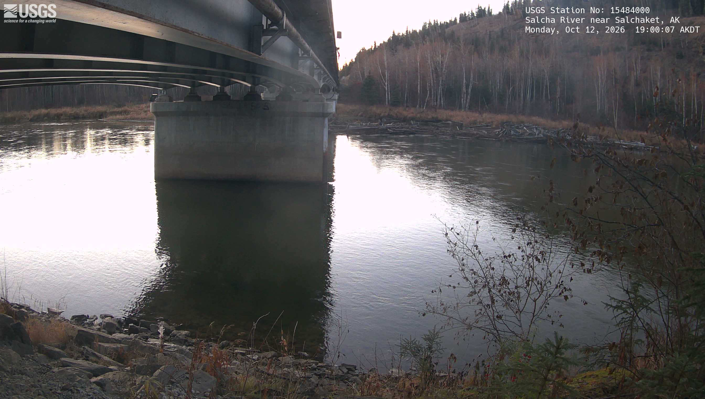
Watch the time-lapse
Camera by the U.S. Geological Survey. Most take a picture every hour, some every few minutes; many stop at night.
The last 7 days and the forecast
NWS forecast issued Sat, Oct 10, 8:18 PM. Forecasts change as rain falls and as upstream water arrives.
Get flood alerts for this river
An email when the National Weather Service forecasts Salcha River near Salchaket to flood, when it floods, and when it's over.
Flood stages
| Moderate flood stage | 18 ft |
| Flood stage | 15 ft |
| Action stage | 13 ft |
| Record crest (August 14, 1967) | 21.78 ft |
What floods at each level
From the National Weather Service, highest first.
- 21.78 ftFlood of record of 1967. Highest record level of water at this point.
- 18.7 ftIn August 1986...a crest of 18.7 feet was associated with the worst flooding on the Salcha River since the great flood of 1967. Long time residents on the Upper Salcha said that the crest came within inches of the 1967 crest. Aerial reconnaissance on Aug 23 showed many residences on the Lower Salcha and many cabins on the Upper Salcha to be flooded. The Salcha campground was completely flooded. Vehicles left there were in deep water. In spots...water was 5 feet deep in the subdivision below the bridge.
- 14 ftFlood stage at left bank of campground. Roads between the hwy and the Tanana River start to have water on them.
- 13 ftBankfull level at campground on left bank.
Highest crests on record
- 21.78 ft — August 14, 1967
- 18.67 ft — August 23, 1986
- 18.38 ft — June 20, 2014
- 17.29 ft — June 24, 2020
- 16.9 ft — July 30, 2008
Recent crests: 9.8 ft (May 26, 2025) · 11.28 ft (April 27, 2025) · 11.4 ft (August 4, 2024) · 13.58 ft (June 1, 2023) · 13.79 ft (May 23, 2022)
Up and down the river, and nearby
- DownstreamTanana River at Fairbanks, AK
- Chena River below Moose Creek Dam near Fairbanks, AK
- Chena River below Hunts Creek near Two Rivers, AK
- Little Chena River near Fairbanks, AK
- Chena River near Two Rivers, AK
- Chena River at Fairbanks, AK
- Fish Creek below Solo Creek near Chatanika, AK
- Tanana River at Big Delta, AK
Not an official source. River levels, forecasts, flood stages and impacts are from the National Weather Service (SALA2); flow from the U.S. Geological Survey. Readings are provisional. In a flood, follow your local officials and the NWS at weather.gov.