Watts Branch at Washington, DC
River level and flood forecast · District of Columbia County
The river is 5.8 ft below flood stage (10 ft).
Flow: 2 cubic feet per second (USGS).
River camera
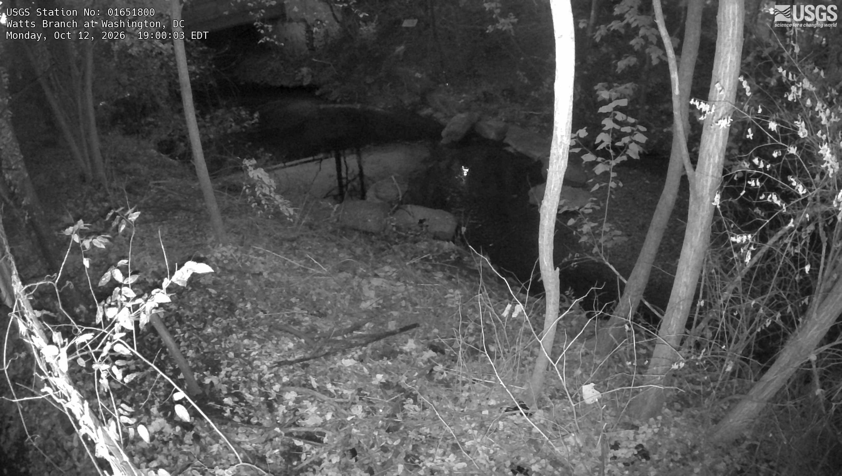
Watch the time-lapse
Camera by the U.S. Geological Survey. Most take a picture every hour, some every few minutes; many stop at night.
The last 7 days and the forecast
NWS forecast issued Sun, Dec 31, 7 PM. Forecasts change as rain falls and as upstream water arrives.
Get flood alerts for this river
An email when the National Weather Service forecasts Watts Branch at Washington to flood, when it floods, and when it's over.
Flood stages
| Moderate flood stage | 12 ft |
| Flood stage | 10 ft |
| Action stage | 9 ft |
| Record crest (September 10, 2020) | 11.19 ft |
Highest crests on record
- 11.19 ft — September 10, 2020
- 10.42 ft — July 8, 2019
- 10.36 ft — September 26, 1994
- 10.26 ft — May 22, 2001
- 9.95 ft — June 1, 2012
Recent crests: 11.19 ft (September 10, 2020) · 10.42 ft (July 8, 2019) · 9.72 ft (August 2, 2018) · 9.71 ft (February 24, 2016) · 9.53 ft (July 1, 2015)
Up and down the river, and nearby
- Hickey Run at National Arboretum, DC
- Northeast Branch Anacostia River at Riverdale, MD
- Anacostia River at Buzzard Point in Washington DC, DC
- Rock Creek at Joyce Road in Washington, DC
- Potomac River at Georgetown / Wisconsin Ave, DC
- Sligo Creek near Takoma Park, MD
- Four Mile Run at Alexandria, VA
- Paint Branch near White Oak, MD
Not an official source. River levels, forecasts, flood stages and impacts are from the National Weather Service (WATD2); flow from the U.S. Geological Survey. Readings are provisional. In a flood, follow your local officials and the NWS at weather.gov.