Wanaque River at Wanaque, NJ
River level and flood forecast · Passaic County
The river is 4.6 ft below flood stage (6 ft).
Forecast to hold near 1.4 ft through Thu, Oct 15, 2 PM.
Flow: 16 cubic feet per second (USGS).
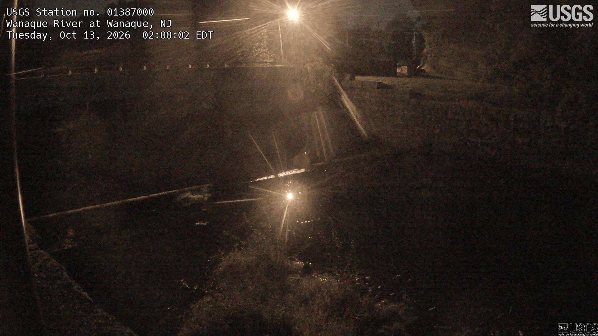
River camera
Watch the time-lapse
Camera by the U.S. Geological Survey. Most take a picture every hour, some every few minutes; many stop at night.
The last 7 days and the forecast
NWS forecast issued Mon, Oct 12, 3:02 PM. Forecasts change as rain falls and as upstream water arrives.
Get flood alerts for this river
An email when the National Weather Service forecasts Wanaque River at Wanaque to flood, when it floods, and when it's over.
Flood stages
| Major flood stage | 9 ft |
| Moderate flood stage | 8 ft |
| Flood stage | 6 ft |
| Action stage | 5 ft |
| Record crest (April 5, 1984) | 10.82 ft |
What floods at each level
From the National Weather Service, highest first.
- 11 ftFlooding expands in Pompton Lakes. Flooding increases between Hershfield Park Place. Riverdale Road floods. First floor residential flooding occurs.
- 10 ftFlooding expands in Pompton Lakes. Roads between Hershfield Park Place and Riverdale Road flood. Residences are flooded, mainly basements.
- 9 ftBack Beach Park in Wanaque is completely submerged. 4th Avenue is Wanaque takes on water. Flooding in Pompton Lakes expands between Wanaque Avenue and the Paterson Hamburg Turnpike. Industry and residential homes are flooded.
- 8 ftThe athletic fields at Back Beach Park in Wanaque flood. Flooding expands across the light industrial area off of Lakeside Avenue in Pompton Lakes. Flooding also expands across VFW Way in Pompton Lakes. Backyard flooding worsens on Henderson Court and Hill Court in Pompton Lakes. Basement flooding is possible.
- 7 ftBack Beach Park in Wanaque begins to flood. The light industrial area off of Lakeside Avenue in Pompton Lakes floods. VFW Way in Pompton Lakes begins to flood. Backyards flood on Henderson Court and Hill Court in Pompton Lakes.
- 6 ftJohn E. Murrin Park begins to flood. Hershfield Park floods. The athletic fields begin to take on water. Parking lots and Hershfield Park Place floods. Carlough Field floods.
- 5 ftOpen adjacent land begins to flood. Waters rise around Wilderness Island Park.
Highest crests on record
- 10.82 ft — April 5, 1984
- 9.12 ft — March 31, 1951
- 8.42 ft — May 29, 1968
- 8.03 ft — March 11, 2011
- 8 ft — April 7, 1924
Recent crests: 7.49 ft (January 10, 2024) · 6.02 ft (December 28, 2023) · 6.11 ft (December 22, 2018) · 7.51 ft (September 8, 2011) · 7.88 ft (August 29, 2011)
Up and down the river, and nearby
Not an official source. River levels, forecasts, flood stages and impacts are from the National Weather Service (WNQN4); flow from the U.S. Geological Survey. Readings are provisional. In a flood, follow your local officials and the NWS at weather.gov.