Chagrin River at Willoughby, OH
River level and flood forecast · Lake County
The river is 8.8 ft below flood stage (12 ft).
Flow: 56 cubic feet per second (USGS).
River camera
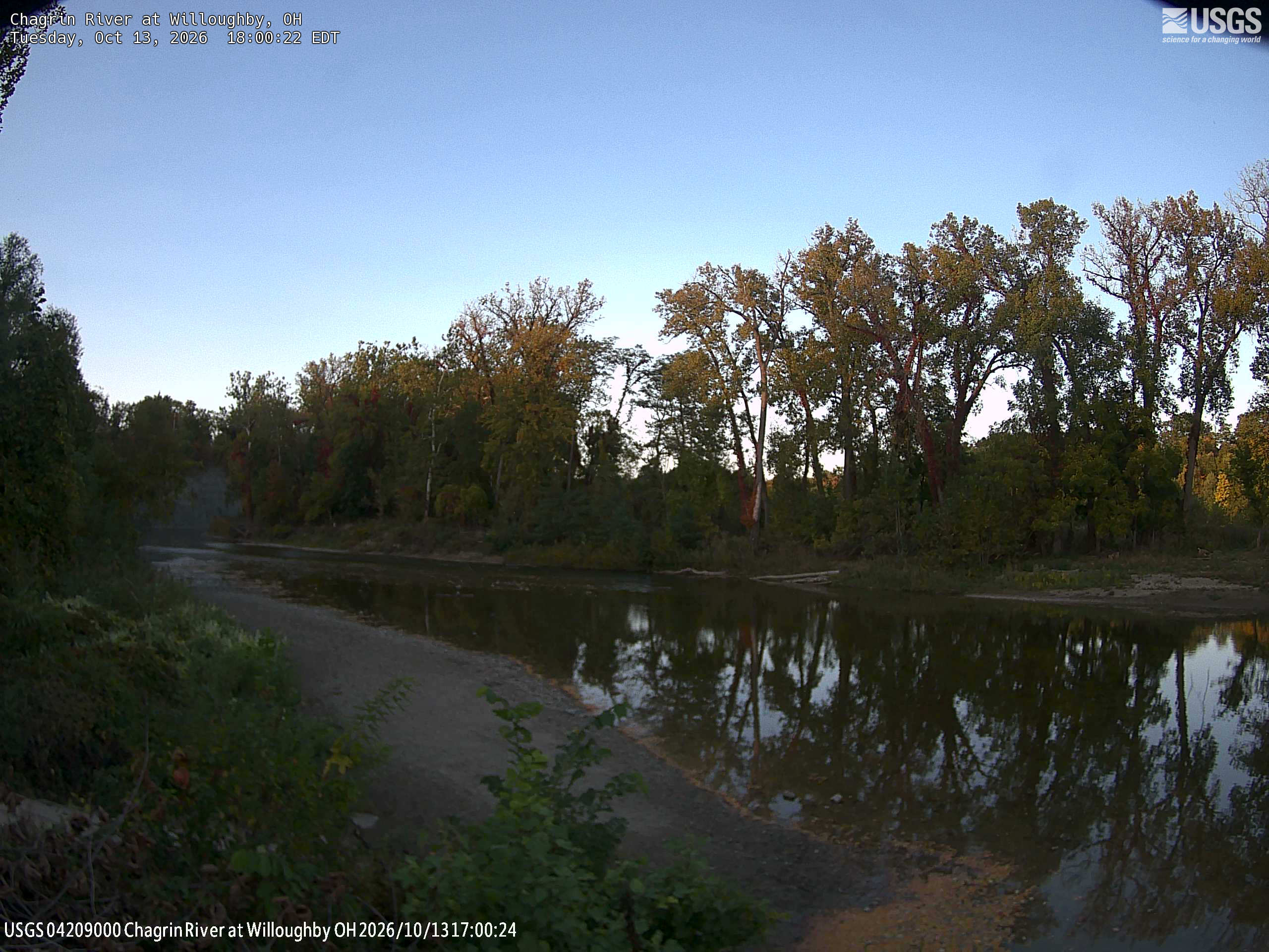
Camera by the U.S. Geological Survey. Most take a picture every hour, some every few minutes; many stop at night.
The last 7 days and the forecast
NWS forecast issued Sun, Dec 31, 7 PM. Forecasts change as rain falls and as upstream water arrives.
Get flood alerts for this river
An email when the National Weather Service forecasts Chagrin River at Willoughby to flood, when it floods, and when it's over.
Flood stages
| Major flood stage | 16 ft |
| Moderate flood stage | 14 ft |
| Flood stage | 12 ft |
| Action stage | 9 ft |
| Record crest (March 22, 1948) | 17.95 ft |
What floods at each level
From the National Weather Service, highest first.
- 22 ft500 year flood level.
- 18 ft100 year flood level. Major flooding from Willoughby Hills to Eastlake. Considerable backwater flooding along all tributaries.
- 16.5 ftThe river gage is flooded. Major flooding will affect low lying property near the river.
- 16 ftSignificant flooding in Lake County. In Eastlake areas like Riverside Drive, Willoughby Hills along Dodd Road, Daniels Park in Willoughby, Chagrin River Road, and several other secondary roads along the Chagrin River. Severe flooding occurs along Trailard, Milann, and Chagrin Drives. Flood waters encroach on North Riverview Drive in Eastlake.
- 15 ftFlood waters threaten properties along Dodd Road in Willoughby Hills. Properties on Riverside Drive impacted in Eastlake.
- 14 ftProperty flooded in Trailard, Milann, and Chagrin Drives in Waite Hill. Riverside Drive and Boulevard in Eastlake cut off.
- 13 ftFlooding is possible along the northern section of Trailard, Milann, and Chagrin Drives in Waite Hill. Dodd Road inundated near Eagle Road.
- 12 ftSome secondary roads near the Chagrin River flood.
- 11 ftLowland flooding occurs in Daniels Park in Willoughby and in the City of Eastlake.
Highest crests on record
- 17.95 ft — March 22, 1948
- 17.14 ft — May 26, 1989
- 16.83 ft — May 19, 1969
- 16.73 ft — January 21, 1959
- 16.57 ft — February 28, 2011
Recent crests: 14.19 ft (April 1, 2026) · 9.34 ft (April 13, 2024) · 12.31 ft (August 24, 2023) · 10.77 ft (February 17, 2022) · 9.76 ft (April 29, 2021)
Up and down the river, and nearby
- UpstreamUnknown Tributary to Chagrin River at Mayfield Heights, OH
- Euclid Creek at Richmond Heights, OH
- Euclid Creek at Cleveland, OH
- Euclid Creek at South Euclid, OH
- Grand River at Painesville, OH
- Unknown Tributary to Chagrin River at Pepper Pike, OH
- Doan Brook at MLK Jr Dr at Cleveland, OH
- Mill Creek at Garfield Parkway, OH
Not an official source. River levels, forecasts, flood stages and impacts are from the National Weather Service (WBYO1); flow from the U.S. Geological Survey. Readings are provisional. In a flood, follow your local officials and the NWS at weather.gov.