Sandy River near Marmot, OR
River level and flood forecast · Clackamas County
Forecast to hold near 689.6 ft through Mon, Oct 19, 5 PM.
Flow: 205 cubic feet per second (USGS).
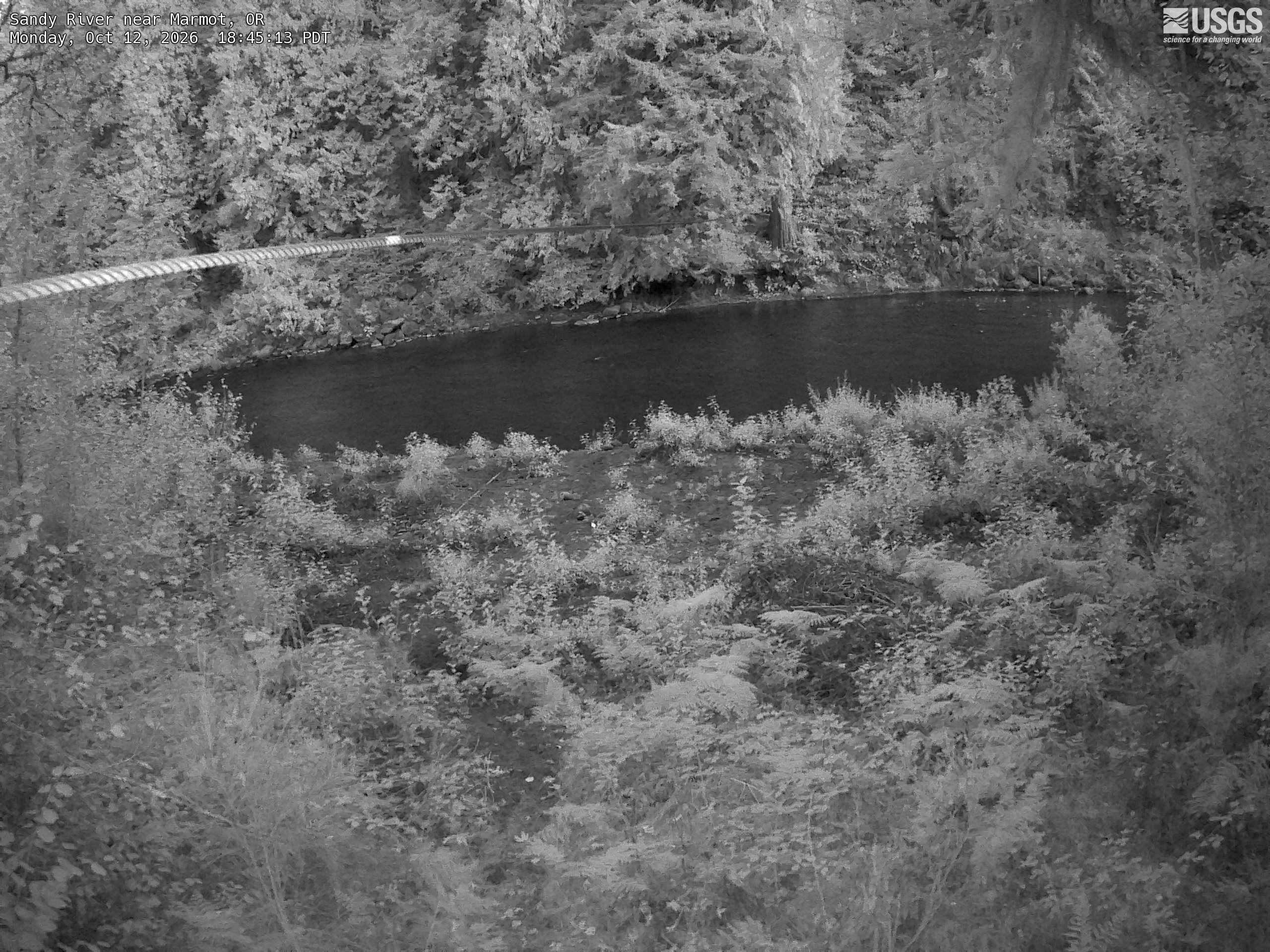
River camera
Watch the time-lapse
Camera by the U.S. Geological Survey. Most take a picture every hour, some every few minutes; many stop at night.
The last 7 days and the forecast
NWS forecast issued Mon, Oct 12, 8:22 AM. Forecasts change as rain falls and as upstream water arrives.
Highest crests on record
- 740.01 ft — November 25, 1999
- 701.3 ft — January 2, 2009
- 700.2 ft — January 16, 2011
- 698.83 ft — October 22, 2017
- 698.19 ft — December 20, 2020
Recent crests: 698.19 ft (December 20, 2020) · 698.83 ft (October 22, 2017) · 698.09 ft (December 2, 2013) · 700.2 ft (January 16, 2011) · 701.3 ft (January 2, 2009)
Up and down the river, and nearby
- DownstreamSandy River near Bull Run, OR
- Little Sandy River near Bull Run, OR
- Bull Run River near Bull Run, OR
- S Fk Bull Run River near Bull Run, OR
- N Fk Bull Run River near Multnomah Falls, OR
- Bull Run River near Multnomah Falls, OR
- Clackamas River near Estacada, OR
- Bull Run River at Lower Flume nr Brightwood, OR
Not an official source. River levels, forecasts, flood stages and impacts are from the National Weather Service (SRMO3); flow from the U.S. Geological Survey. Readings are provisional. In a flood, follow your local officials and the NWS at weather.gov.