Green River at Jensen, UT
River level and flood forecast · Uintah County
The river is 7.7 ft below flood stage (10.8 ft).
Forecast to rise to 3.4 ft Fri 2 AM, below the 10.8 ft flood stage.
Flow: 2,730 cubic feet per second (USGS).
River camera
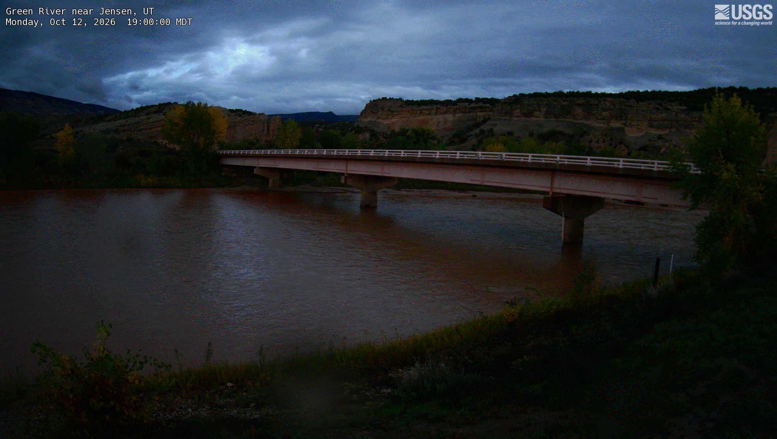
Watch the time-lapse
Camera by the U.S. Geological Survey. Most take a picture every hour, some every few minutes; many stop at night.
The last 7 days and the forecast
NWS forecast issued Mon, Oct 12, 11:53 AM. Forecasts change as rain falls and as upstream water arrives.
Get flood alerts for this river
An email when the National Weather Service forecasts Green River at Jensen to flood, when it floods, and when it's over.
Flood stages
| Major flood stage | 14 ft |
| Moderate flood stage | 12 ft |
| Flood stage | 10.8 ft |
| Action stage | 9 ft |
| Record crest (June 11, 2011) | 12.93 ft |
What floods at each level
From the National Weather Service, highest first.
- 14.5 ftThe Green River and Stewart Lake will start to combine.
- 14 ftThe Green River has reached major flood stage. Homes, roads, oil and agricultural equipment near the river will be inundated.
- 12 ftThe Green River has reached moderate flood stage. Expect inundated roads and oil equipment near the River, as well as low-lying homes near the confluence of the Duchesne and White Rivers.
- 10.8 ftThe Green River has reached flood stage. Irrigation pumps and equipment near the river are impacted.
- 9.5 ftminor lowland flooding is expected along the Green River. Agricultural land, irriagtion and a few out buildings near the river are impacted.
- 9 ftThe Green River reaches bankfull resulting in minor flooding of low-lying agricultural land and bank erosion.
Highest crests on record
- 12.93 ft — June 11, 2011
- 11.15 ft — June 5, 1997
- 10.81 ft — June 5, 2008
- 9.92 ft — June 12, 2016
- 9.89 ft — June 11, 2019
Recent crests: 6.69 ft (May 8, 2026) · 6.69 ft (May 16, 2025) · 7.95 ft (May 24, 2024) · 9.7 ft (May 18, 2023) · 8.69 ft (May 31, 2022)
Up and down the river, and nearby
- UpstreamGreen River near Greendale, UT
- Ashley Creek Below Union Canal Diversion near Jensen, UT, UT
- Ashley Creek near Remember the Maine Park near Vernal, UT, UT
- Ashley Creek above Vernal, UT
- White River near Watson, UT
- Duchesne River near Randlett, UT
- Uinta River at Randlett, UT
- Duchesne River Above Uinta River near Randlett, UT, UT
Not an official source. River levels, forecasts, flood stages and impacts are from the National Weather Service (JESU1); flow from the U.S. Geological Survey. Readings are provisional. In a flood, follow your local officials and the NWS at weather.gov.