Jump River at Sheldon, WI
River level and flood forecast · Rusk County
Normal3.0 ftas of Mon 10 PM
Flow: 49 cubic feet per second (USGS).
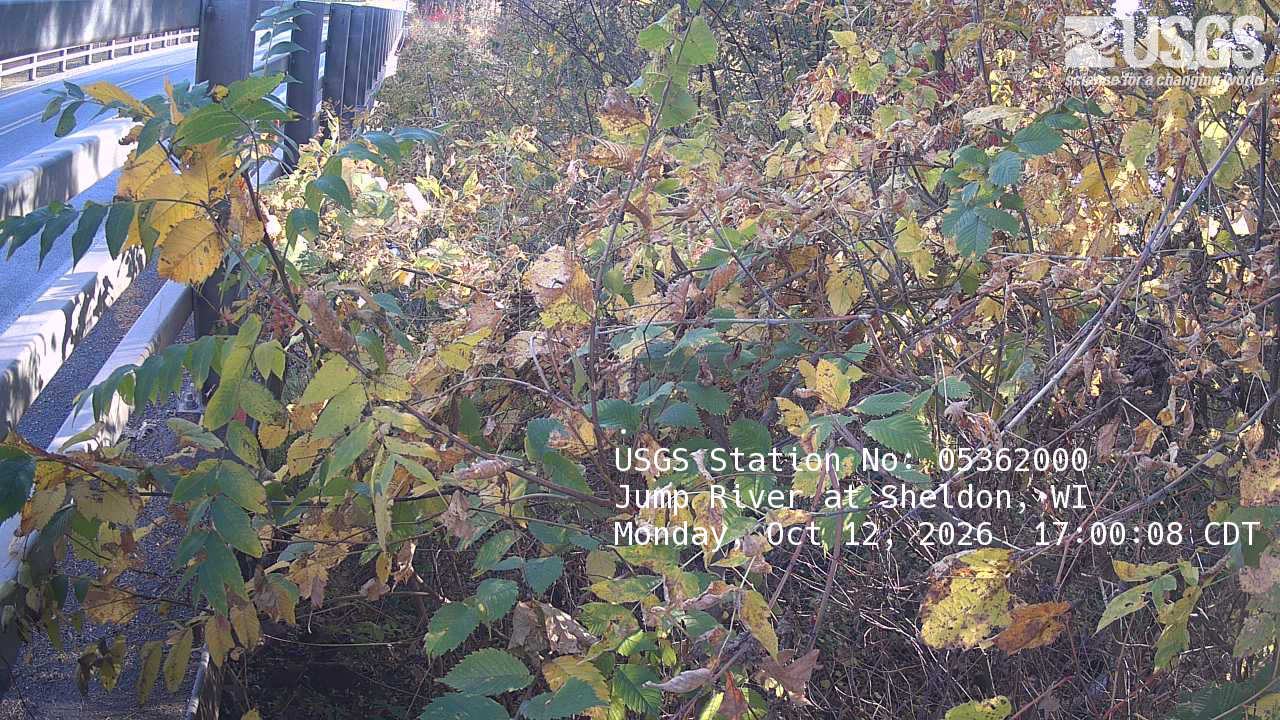
River camera
Watch the time-lapse
Camera by the U.S. Geological Survey. Most take a picture every hour, some every few minutes; many stop at night.
The last 7 days and the forecast
NWS forecast issued Sun, Dec 31, 6 PM. Forecasts change as rain falls and as upstream water arrives.
Highest crests on record
- 18.8 ft — August 31, 1941
- 12.85 ft — April 12, 2002
- 11.43 ft — April 6, 1997
- 11.23 ft — May 20, 2019
- 11.12 ft — April 18, 2019
Recent crests: 11.23 ft (May 20, 2019) · 11.12 ft (April 18, 2019) · 12.85 ft (April 12, 2002) · 10.96 ft (April 13, 2001) · 10.59 ft (April 8, 2001)
Up and down the river, and nearby
- DownstreamChippewa River (WI) at Chippewa Falls, WI
- S. Fork Flambeau River near Bruce, WI
- North Fork Yellow River near Perkinstown, WI
- Chippewa River (WI) near Bruce, WI
- Chippewa River (WI) near Winter, WI
- Red Cedar River near Colfax 4N, WI
- Chippewa River (WI) below Dells Dam (Tailwater), WI
- Chippewa River (WI) at Eau Claire, WI
Not an official source. River levels, forecasts, flood stages and impacts are from the National Weather Service (SHEW3); flow from the U.S. Geological Survey. Readings are provisional. In a flood, follow your local officials and the NWS at weather.gov.