Rock River at Lebanon-3 E-Hwy MM bridge, WI
River level and flood forecast · Dodge County
The river is 3.1 ft below flood stage (10 ft).
Flow: 452 cubic feet per second (USGS).
River camera
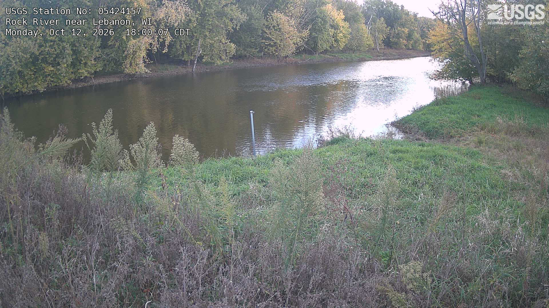
Watch the time-lapse
Camera by the U.S. Geological Survey. Most take a picture every hour, some every few minutes; many stop at night.
The last 7 days and the forecast
NWS forecast issued Sun, Dec 31, 6 PM. Forecasts change as rain falls and as upstream water arrives.
Get flood alerts for this river
An email when the National Weather Service forecasts Rock River at Lebanon-3 E-Hwy MM bridge to flood, when it floods, and when it's over.
Flood stages
| Major flood stage | 13 ft |
| Moderate flood stage | 11.5 ft |
| Flood stage | 10 ft |
| Action stage | 9 ft |
| Record crest (June 15, 2008) | 14.01 ft |
What floods at each level
From the National Weather Service, highest first.
- 14 ftWater impacts many properties around the town. Wiley Rd, N Crawfish Rd, Red Wing Rd, Morningside Rd, Poplar Grover Rd, Davidson Rd, Harvey Rd, Indian Lane, Follette Rd, Highview Rd, and Monroe Rd are closed.
- 13 ftWiley Rd, N Crawfish Rd, Red Wing Rd, Morningside Rd, Poplar Grove Rd, Davidson Rd, Harvey Rd, Indian Lane, Follette Rd, Highview Rd and Monroe Rd are closed.
- 11.5 ftDavidson Rd, Harvey Rd, Indian Lane, Follette Rd, Highview Rd, Upham Rd, and Monroe Rd are closed.
- 11 ftEast end of Davidson Rd, Monroe Rd and Upham Rd are closed.
- 10 ftWater over North end of Monroe Rd and Upham Rd.
- 9 ftWater over Monroe Rd.
- 8 ftWater impacts parts of Monroe Rd
Highest crests on record
- 14.01 ft — June 15, 2008
- 12.54 ft — April 21, 2013
- 12.29 ft — September 7, 2018
- 12.15 ft — October 5, 2019
- 12.13 ft — June 7, 2024
Recent crests: 12.02 ft (April 20, 2026) · 10.74 ft (July 6, 2024) · 12.13 ft (June 7, 2024) · 12.13 ft (June 7, 2024) · 10.74 ft (April 7, 2024)
Up and down the river, and nearby
Not an official source. River levels, forecasts, flood stages and impacts are from the National Weather Service (LEBW3); flow from the U.S. Geological Survey. Readings are provisional. In a flood, follow your local officials and the NWS at weather.gov.