Murrieta Creek at Temecula, CA
River level and flood forecast · Riverside County
Normal2.0 ftas of Mon 8:15 PM
Forecast to rise to 2.4 ft Mon 9 PM.
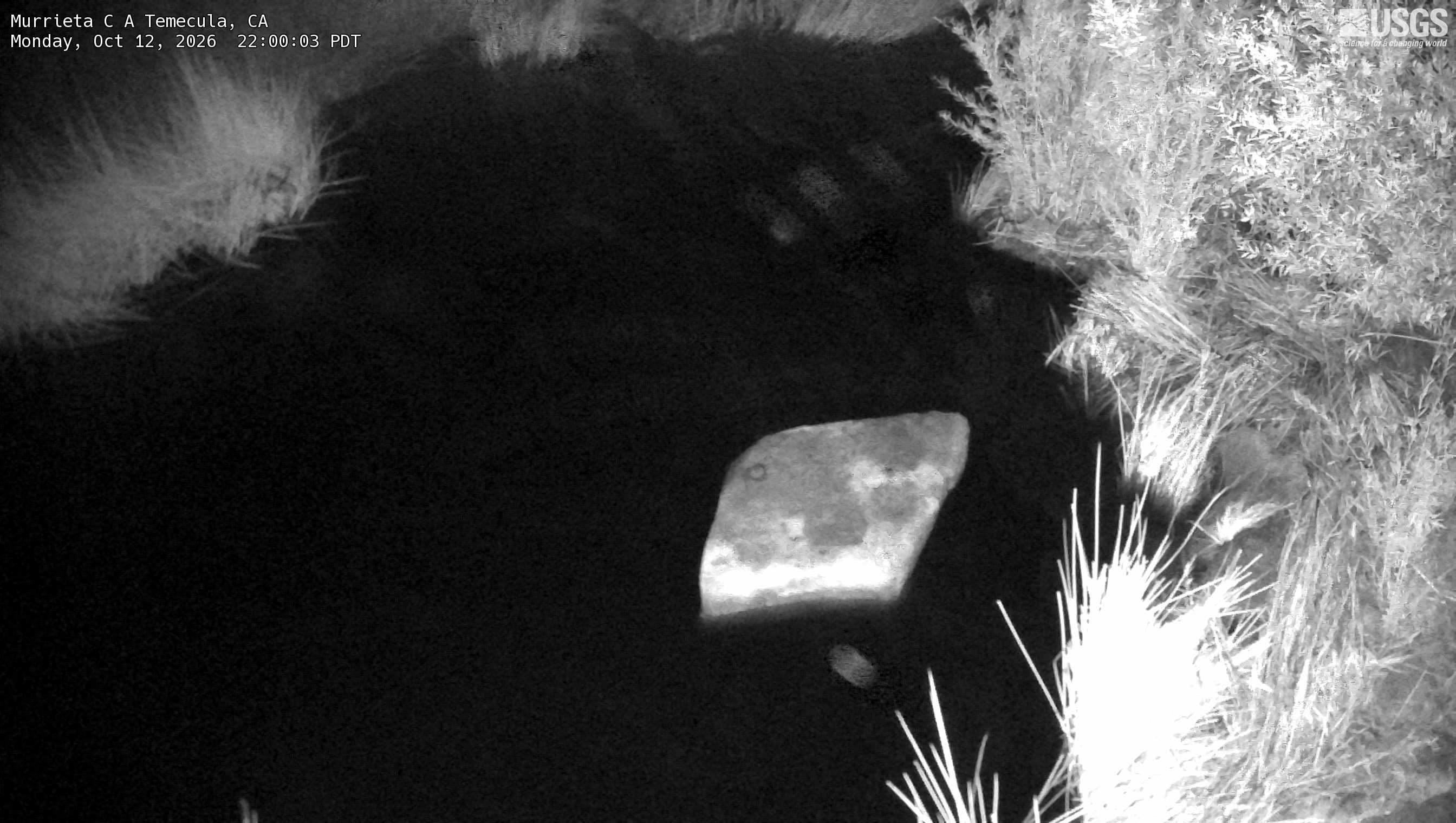
River camera
Watch the time-lapse
Camera by the U.S. Geological Survey. Most take a picture every hour, some every few minutes; many stop at night.
The last 7 days and the forecast
NWS forecast issued Mon, Oct 12, 7:56 AM. Forecasts change as rain falls and as upstream water arrives.
Up and down the river, and nearby
- Santa Margarita River near Temecula, CA
- Temecula Creek near Aguanga, CA
- Santa Margarita River at Ysidora, CA
- San Luis Rey River at Oceanside, CA
- Temescal Creek near Corona, CA
- Santa Ana River at MWD Crossing near Arlington, CA
- San Timoteo Creek near Loma Linda, CA
- Santa Ana River at E St near San Bernardino, CA
Not an official source. River levels, forecasts, flood stages and impacts are from the National Weather Service (MUTC1); flow from the U.S. Geological Survey. Readings are provisional. In a flood, follow your local officials and the NWS at weather.gov.