Steamboat Creek (NV) at Steamboat, NV
River level and flood forecast · Washoe County
The river is 2.9 ft below flood stage (4 ft).
Forecast to hold near 1.1 ft through Sat, Oct 17, 5 AM.
Flow: 4 cubic feet per second (USGS).
River camera
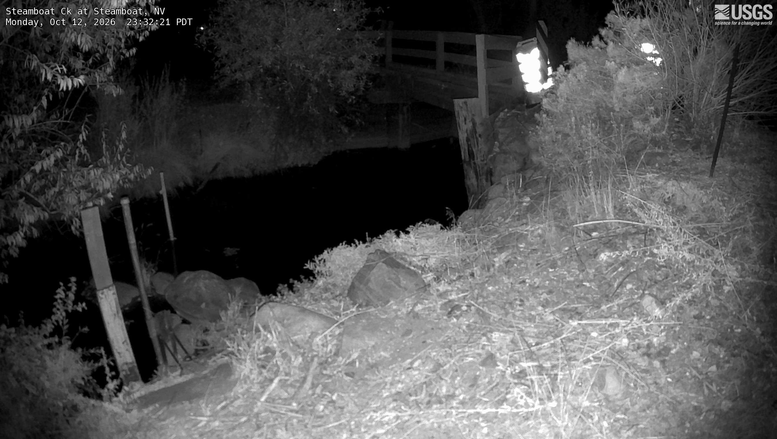
Camera by the U.S. Geological Survey. Most take a picture every hour, some every few minutes; many stop at night.
The last 7 days and the forecast
NWS forecast issued Mon, Oct 12, 7:59 AM. Forecasts change as rain falls and as upstream water arrives.
Get flood alerts for this river
An email when the National Weather Service forecasts Steamboat Creek (NV) at Steamboat to flood, when it floods, and when it's over.
Flood stages
| Major flood stage | 6 ft |
| Moderate flood stage | 4.8 ft |
| Flood stage | 4 ft |
| Action stage | 3 ft |
| Record crest (December 31, 2005) | 6.26 ft |
What floods at each level
From the National Weather Service, highest first.
- 6.8 ftNear Record flood with serious damage from Pleasant Valley to Vista, including the communities of Steamboat, Damonte Ranch, Mira Loma, Hidden Valley and the UNR agricultural farm. Livestock at the farm will need to be evacuated to higher ground. Impacts in Hidden Valley and UNR farm dependent on Truckee River level and backwater contribution. Similar level to 12/31/2005 and 2/17/1986 floods.
- 6 ftMajor flooding with significant damage from Pleasant Valley to Vista, including communities of Steamboat, Damonte Ranch, Mira Loma, Hidden Valley and the UNR agricultural farm. Livestock at the farm may need to be evacuated to higher ground. Impacts in Hidden Valley and UNR farm dependent on Truckee River level and backwater contribution. Similar to January 1997 level.
- 4.8 ftModerate flooding with some flood damage from Pleasant Valley to Vista, including the communities of Steamboat, Damonte Ranch, Mira Loma, Hidden Valley and the UNR agricultural farm. Multiple road closures likely. Impacts in Hidden Valley and UNR farm area dependent on Truckee River level and backwater contribution. Slightly exceeding the February 10, 2017 crest.
- 4 ftFlood Stage: Minor lowland flooding approaching and potentially closing several roads including Towne Drive, Anderew Lane, and Rhodes Road. High flows in local ditches may also cause or exacerbate flooding.
- 3 ftMonitor Stage; no flooding in reach, but some lowland inundation. Remove property from low lying areas, prepare for flooding if additional rises are expected, Excessive flow in local ditches could lead to localized impacts.
Highest crests on record
- 6.26 ft — December 31, 2005
- 6.26 ft — February 17, 1986
- 5.48 ft — January 1, 1997
- 5.15 ft — January 10, 2017
- 5.03 ft — January 8, 2017
Recent crests: 3.7 ft (March 10, 2023) · 3.01 ft (February 14, 2023) · 3.24 ft (January 9, 2023) · 3.36 ft (March 22, 2018) · 4.3 ft (February 10, 2017)
Up and down the river, and nearby
Not an official source. River levels, forecasts, flood stages and impacts are from the National Weather Service (SCRN2); flow from the U.S. Geological Survey. Readings are provisional. In a flood, follow your local officials and the NWS at weather.gov.