Truckee River at Vista, NV
River level and flood forecast · Washoe County
The river is 10.0 ft below flood stage (17 ft).
Forecast to hold near 7.0 ft through Sat, Oct 17, 5 AM.
Flow: 286 cubic feet per second (USGS).
River camera
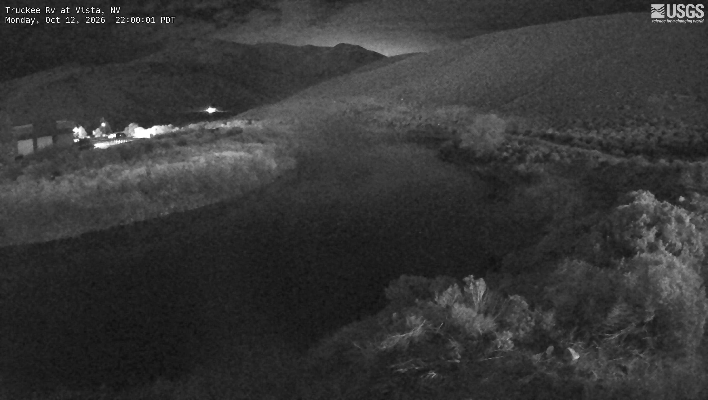
Camera by the U.S. Geological Survey. Most take a picture every hour, some every few minutes; many stop at night.
The last 7 days and the forecast
NWS forecast issued Mon, Oct 12, 7:59 AM. Forecasts change as rain falls and as upstream water arrives.
Get flood alerts for this river
An email when the National Weather Service forecasts Truckee River at Vista to flood, when it floods, and when it's over.
Flood stages
| Major flood stage | 21 ft |
| Moderate flood stage | 18.5 ft |
| Flood stage | 17 ft |
| Action stage | 15 ft |
| Record crest (February 1, 1963) | 23.46 ft |
What floods at each level
From the National Weather Service, highest first.
- 26 ftCatastrophic Record flooding with massive damage to property and infrastructure, major disruption to power, communication, transportation, water, and hospital services from Greg Street Bridge in Reno to Derby Dam.
- 25 ftRecord Flooding from Reno to Derby Dam. Disastrous flooding with extensive damage to property and infrastructure in the floodplain, including the airport. Major disruption to power, communication, transportation, water, and hospital services.
- 24 ftFlood disaster from Greg Street Bridge in Reno to Derby Dam. Reno Airport under several feet of water. Deepest areas in Sparks Industrial area up to 10 feet deep. Flooding likely impacting highway 80. Truckee River floods roads accessing homes in Lockwood in addition to major backwater flooding on Long Valley Creek. Peak similar to 1/2/1997 peak stage.
- 23 ftExtensive damage from Reno to Derby Dam, including the Reno Airport, Sparks, and the Truckee Meadows. Truckee Meadows flooded from Reno Airport east to Hidden Valley and Glendale Ave and Interstate 80 south to Mira Loma. Some flooding north of I-80 likely near Sparks Blvd.
- 22 ftMajor flooding with significant property and infrastructure damage. Many bridges closed. Ponding water likely impacting Reno Airport.
- 21 ftMajor Flood Stage. Major flooding from Greg Street Bridge to Derby Dam, numerous roads and bridges flooded, extensive flooding in the Sparks Industrial area, and numerous lower homes in Hidden Valley. Phone, power, and water supplies begin to be impacted.
- 20 ftModerate flooding impacts from Reno to Derby Dam impacting numerous roads, Sparks Industrial area, and several low lying homes in Hidden Valley. Similar to 12/31/2005 peak stage, and slightly higher than 1/9/2017.
- 19 ftModerate flooding. Numerous road closures including East McCarren, East Mill Street, Clean Water Way, Pembroke Lane, and many streets in the Sparks Industrial area. Combined backwater and local tributary flows may start impacting lowest homes near Boynton Slough in Hidden Valley. Flooding of lower ranch lands below Lockwood. Slightly lower than 1/9/2017 peak stage.
- 18.5 ftModerate Flood Stage. More extensive out of bank flows beginning to significantly impact low lying areas along the river including areas around North Edison Way, UNR farms, Clean Water Way, Pembroke Lane and Lower Steamboat Creek. Stormwater flooding likely in Sparks Industrial area. Backwater issues begin to impact Long Valley Creek in Lockwood.
- 18 ftExpanding minor flood impacts through low lying areas with increasing backwater problems. Water just starting to overflow the south bank near North Edison Way. Similar to 2/10/17 peak. No adverse river flooding impacts between the eastern edge of Sparks and Derby Dam.
- 17 ftMinor Flood Stage. Minor flooding below Greg Street Bridge including parks and bike path along the river, UNR Farms, and backwater flooding of Steamboat Creek and Boynton Slough. Stormwater flooding possible in Sparks Industrial area with heavy valley rains. No adverse river flooding impacts between the eastern edge of Sparks and Derby Dam.
- 16 ftNear maximum safe channel capacity between Greg Street Bridge and Derby Dam. High Truckee River stage leads to increasing backwater south along Steamboat Creek and limits stormwater drainage from the Sparks Industrial area. Similar to secondary January 2017 peak (1/11/17).
- 15 ftMonitor Stage. Approaching bankfull from Greg Street Bridge in Reno to Derby Dam. Releases from flood control reservoirs (Prosser, Stampede and Boca) are cut slightly in advance of this level. Very minor flooding of low lying meadows and Truckee River bike path below East McCarran Boulevard in Sparks. Some backwater effects extend south along Steamboat Creek to near Pembroke Drive, and could hinder storm water drainage in the Sparks Industrial area.
Highest crests on record
- 23.46 ft — February 1, 1963
- 23.26 ft — January 2, 1997
- 22.48 ft — March 18, 1907
- 22 ft — February 18, 1986
- 20.62 ft — December 31, 2005
Recent crests: 12.86 ft (May 23, 2023) · 13.32 ft (October 25, 2021) · 14.14 ft (April 7, 2018) · 18.01 ft (February 10, 2017) · 15.67 ft (January 11, 2017)
Up and down the river, and nearby
Not an official source. River levels, forecasts, flood stages and impacts are from the National Weather Service (VISN2); flow from the U.S. Geological Survey. Readings are provisional. In a flood, follow your local officials and the NWS at weather.gov.