North Texas Lakes at Whitney Lake, TX
River level and flood forecast · Bosque County
The National Weather Service has no current reading for this gauge, so its flood status isn't known right now.
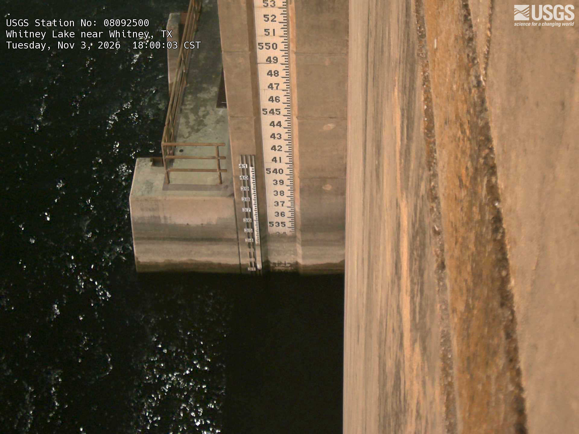
River camera
Watch the time-lapse
Camera by the U.S. Geological Survey. Most take a picture every hour, some every few minutes; many stop at night.
The last 7 days and the forecast
NWS forecast issued Sun, Dec 31, 6 PM. Forecasts change as rain falls and as upstream water arrives.
What floods at each level
From the National Weather Service, highest first.
- 550 ftMAJOR FLOODING CAN BE EXPECTED ALONG THE LAKE SHORE.
- 543 ftMODERATE FLOODING CAN BE EXPECTED ALONG THE LAKE SHORE.
- 539 ftMINOR FLOODING CAN BE EXPECTED ALONG THE LAKE SHORE.
Highest crests on record
- 570.25 ft — May 29, 1957
- 564.89 ft — May 9, 1990
- 561.45 ft — December 28, 1991
- 561.35 ft — June 8, 2016
- 556.88 ft — July 5, 2007
Recent crests: 561.35 ft (June 8, 2016) · 556.19 ft (June 4, 2015) · 556.88 ft (July 5, 2007) · 561.45 ft (December 28, 1991) · 564.89 ft (May 9, 1990)
Up and down the river, and nearby
- UpstreamBrazos River near Glen Rose, TX
- DownstreamNorth Texas Lakes at Aquilla Lake, TX
- Brazos River near Aquilla, TX
- North Bosque River near Clifton, TX
- North Bosque River at Valley Mills, TX
- Nolan River at Blum, TX
- Hog Creek near Crawford, TX
- North Texas Lakes at Waco Lake, TX
- Middle Bosque River near McGregor, TX
Not an official source. River levels, forecasts, flood stages and impacts are from the National Weather Service (WTYT2); flow from the U.S. Geological Survey. Readings are provisional. In a flood, follow your local officials and the NWS at weather.gov.